By Savannah Meacham
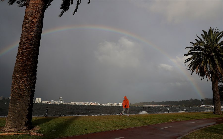
A “very strong” weather system that only occurs three to five times a year is sweeping across a vast swathe of WA bringing heavy rainfall and possible flash flooding.
The Bureau of Meteorology warned the cold front is moving across the state from the far south west to the SA border and even as far north as the Pilbara over the weekend.
“We do have a severe weather warning stretching all the way down the coastline from Kalbarri through Perth and around to Walpole,” meteorologist Helen Reid said on Saturday.
Heavy rainfall is expected to drench the state with up to 75mm in a six hour period forecast sparking a flash flooding warning.
Damaging wind gusts of up to 100km/h and consistent winds of between 60 to 70km/h could also thrash the region on Saturday afternoon in the south west.
Moving into Sunday, the weather system is forecast to intensify along the coastline with wind gusts in excess of 125km/h.
“These could cause significant damage, damage or destruction to homes and property,” Ms Reid said.
“This sort of cold front is similar in strengths to one that you would see about three to five, three or four or five times per year.”
Emergency WA has issued a “get ready” warning for the midwest Gascoyne, Perth metropolitan, south west and lower south west.
“If you live in Lower West, South West and parts of Central West districts you need to get ready now for the severe weather coming this afternoon,” the agency said.
Towns like Bunbury, Busselton, Geraldton, Kalbarri, Mandurah, Manjimup, Margaret River and Perth are expected to be hit by the “vigorous” storm.
“The Bureau of Meteorology advised a vigorous cold front is slowly approaching the West Coast, with a pre-frontal trough forecast to develop over the far southwest of the state from Saturday afternoon,” the body added.
The agency warned rainfall totals forecast for this storm are not typically seen during winter.
“This weather is not unusual for this time of year, but could damage homes and make travel dangerous,” it said.
Conditions are expected to ease in the south west on Sunday as the system moves inland taking the heavy rain and winds further east and redeveloping with a harsh west to southwesterly wind stream.
However, the bureau will be keeping a close eye on how the weather event unfolds on Saturday evening and the intensity of weather impacts for any further warnings.
Who can be trusted?
In a world of spin and confusion, there’s never been a more important time to support independent journalism in Canberra.
If you trust our work online and want to enforce the power of independent voices, I invite you to make a small contribution.
Every dollar of support is invested back into our journalism to help keep citynews.com.au strong and free.
Thank you,
Ian Meikle, editor


Leave a Reply