By Duncan Murray in Sydney
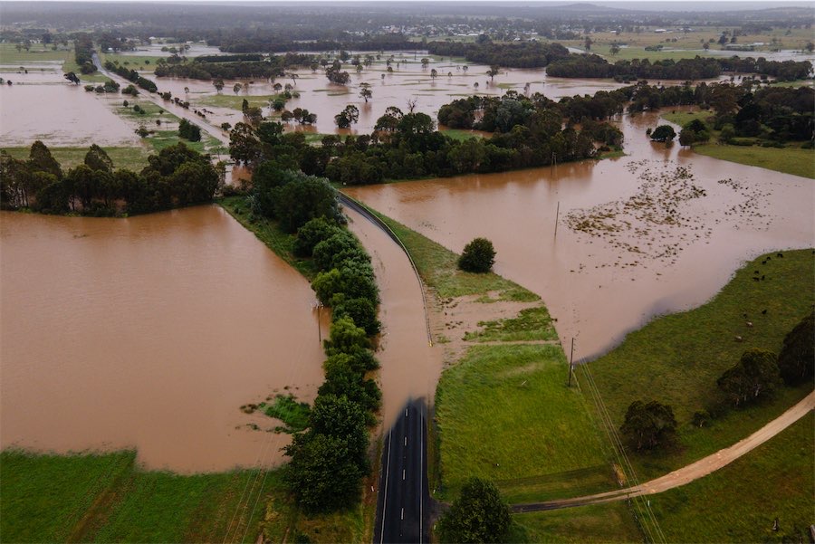
EASTERN states continue to face major threats from floods and thunderstorms as an almost week-long deluge is finally tipped to ease.
A lingering low-pressure trough has brought showers and thunderstorms to eastern and southern areas, causing rivers to flood and some residents requiring rescue.
The trough is expected to move offshore late on Sunday and into Monday, bringing relief.
Scattered showers and isolated thunderstorms across the NSW-Victorian border area are expected to ease and move eastwards throughout the day, with heavy falls possible for Gippsland during the morning.
Flood warnings for Victoria’s Thomson and Avon rivers have been downgraded, however moderate renewed rises were possible with further rainfall.
On Saturday, parts of the Gippsland region recorded more than 40mm of rain from 9am with the drenching continuing into the afternoon.
The SES has received more than 900 requests for help since the beginning of the storm and rain event on Wednesday with about 700 relating to fallen trees.
Parts of eastern Victoria are predicted to record rainfalls of 100mm across the weekend on top of the 200 to 300mm received since Wednesday.
The forecast for Canberra is partly cloudy with an 80 per cent chance of rain up to 7mm. The bureau says there’s a high chance of showers, most likely during this afternoon and early evening. The chance of a thunderstorm. Forecast maximum is 23C.
Who can be trusted?
In a world of spin and confusion, there’s never been a more important time to support independent journalism in Canberra.
If you trust our work online and want to enforce the power of independent voices, I invite you to make a small contribution.
Every dollar of support is invested back into our journalism to help keep citynews.com.au strong and free.
Thank you,
Ian Meikle, editor


Leave a Reply