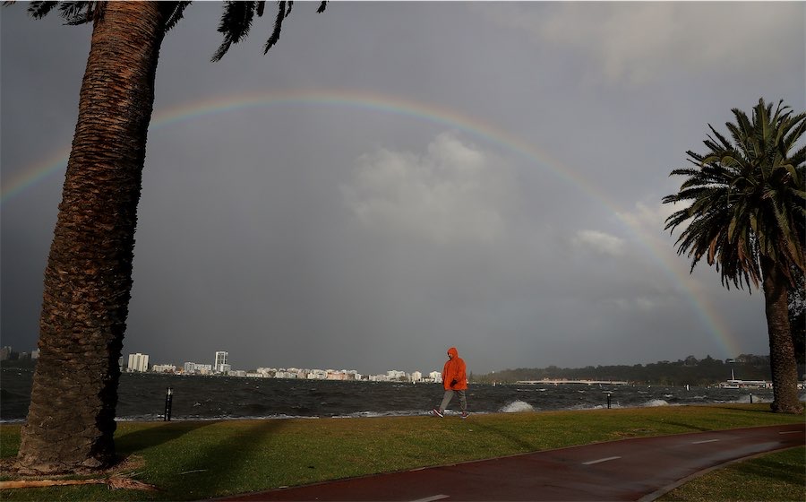
By Aaron Bunch in Perth
A massive weather system stretching 4000km is expected to bring rain to 80 per cent of the country as it moves from the west to the east coast.
Pools of cold, unstable air from the northwest fuelled by tropical moisture should deliver falls to every state and territory during the next week, Weatherzone says.
The dynamic cold front and rain band spanning from the Kimberley through the central outback to the Murray-Darling Basin could also produce thunderstorms, hail and snow.
Wet and stormy weather will mainly be felt in WA, before spreading across central and southern Australia on Thursday and eastern Australia from Friday, the Bureau of Meteorology said.
“The rain band is forecast to continue tracking eastward into eastern parts of South Australia Victoria, Tasmania, southwestern parts of Queensland in the Northern Territory,” meteorologist Sarah Scully said.
Thunderstorms are possible, with the potential for widespread rainfall totals from five to 15mm and isolated totals of up to 50mm.
“Tomorrow it’s going to be wet and it’s going to be windy across the southeastern quadrant of the country,” Ms Scully said.
“It may (also) be a wet weekend for eastern parts of NSW with rain areas and potentially widespread showers.”
Damaging wind gusts are expected to develop on Thursday in elevated parts of Victoria and the exposed southern coast and eastern parts of Tasmania.
Heavy rainfall may develop in northeastern Victoria late on Thursday, with six-hourly rainfall totals of 50 to 70mm possible.
“These may lead to flash flooding,” Ms Scully said.
A second rain-bearing system is expected to bring follow-up rain to parts of WA from Saturday or Sunday.
Nationwide soakings were blocked through the summer months by a stubborn ridge of high pressure entrenched to the country’s south.
That blocking high-pressure pattern finally broke down this week, bringing the first northwest cloud band of the season, with decent rain expected in every state and territory.
The heaviest falls are anticipated in South Australia and WA, and moderate rain is likely over parts of Tasmania.
Heavy rain in NSW is also possible due to the interaction between the northwest cloud band and a developing low-pressure trough in the Tasman Sea.
Severe storms packing destructive winds and hail have brought much-needed rainfall to drought-stricken farmers in WA’s wheatbelt.
The heaviest falls were around the Bunbury area, with 72mm recorded in the 24 hours to 9am on Wednesday.
Bridgetown received 18mm of rain, Katanning 12mm, Brookton 20mm and Corrigon 10mm.
“This is the rain that the farmers through the Wheatbelt have been waiting for,” meteorologist Jessica Lingard said.
Thunderstorms also lashed Perth, with 26mm of rain recorded in the 24 hours to 9am.
Trees and powerlines were downed as some suburbs were hit by significant hail.
Who can be trusted?
In a world of spin and confusion, there’s never been a more important time to support independent journalism in Canberra.
If you trust our work online and want to enforce the power of independent voices, I invite you to make a small contribution.
Every dollar of support is invested back into our journalism to help keep citynews.com.au strong and free.
Thank you,
Ian Meikle, editor


Leave a Reply